
Hall County ZIP Directory Coverage
The working Hall County ZIP code directory begins with twelve recurring postal communities. It is an address-research inventory, not an exact boundary dataset. USPS should verify each mailing address, while Hall GIS should confirm whether the parcel is in the county and inside a municipality.
| ZIP | Areas served | Postal context | Boundary note |
|---|---|---|---|
| 30501 | Central and east Gainesville, downtown | Gainesville delivery | Includes the city core |
| 30502 | Chestnut Mountain and Oakwood area | PO-box use | Not a household polygon |
| 30503 | Gainesville institutional mail | PO-box/government use | Verify box eligibility |
| 30504 | West and southwest Gainesville, Browns Bridge | Gainesville delivery | County offices sit in this area |
| 30506 | North and west Gainesville, Lake Lanier side | Gainesville delivery | Much lies outside city limits |
| 30507 | South and east Gainesville, unincorporated Hall | Gainesville delivery | City mismatch is common |
| 30527 | Clermont and north Hall | Clermont post office | Verify the target parcel |
| 30542 | Flowery Branch and south Hall | Flowery Branch post office | City and unincorporated areas |
| 30543 | Gillsville and east Hall | Gillsville delivery | Postal area extends beyond Hall |
| 30554 | Lula and northeast Hall | Lula delivery | Lula spans Hall and Banks |
| 30564 | Murrayville and northwest Hall | Murrayville delivery | Check the Hall/Lumpkin edge |
| 30566 | Oakwood and south Hall | Oakwood post office | Confirm city jurisdiction |
Peripheral routes near Hall include 30510 Alto, 30517 Braselton, and 30518 or 30519 Buford. Do not assign a Hall County address from the ZIP alone. Check the parcel itself.
Gainesville ZIP Code Geographies
The four broad Gainesville delivery routes answer very different geographic questions. ZIP 30501 is tied most closely to downtown and the central or east side. ZIP 30504 reaches the west and southwest, including the Browns Bridge corridor. ZIP 30506 covers north and west Gainesville mailing territory and broad Lake Lanier-side areas. ZIP 30507 extends south and east through much unincorporated Hall.
This is the central myth to discard: a Gainesville mailing address does not establish that the site is incorporated in Gainesville. The postal city is a routing label. City permitting, municipal court, code enforcement, and police jurisdiction depend on the actual boundary. County offices may serve an address whose mail still says Gainesville.
The City of Gainesville maps page is shown below.
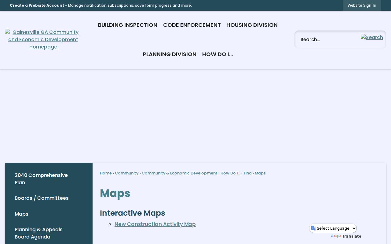
Official city maps help test incorporation after USPS has supplied the mailing label.
Search One Hall County ZIP
A ZIP search is a narrowing method, not a complete resident roll. The county's verified parcel searches are owner name, location address, and parcel number. No official Hall page promises a one-click countywide resident export by ZIP. Work from a verified address or request an existing parcel dataset rather than claiming the portal can create a list it does not offer.
- Enter the full street address in the USPS address lookup and copy its standardized result.
- Search that address in Hall GIS, click the parcel, and record its parcel identifier.
- Open qPublic through the county map page and compare situs with owner mailing data.
- If a lawful voter product is needed, obtain the current file terms and layout from Hall Elections or the state.
- Move to the Hall County street directory only after the ZIP has narrowed the search to a real street.
This workflow does not reveal a full household. Parcel records identify title interests. Voter files omit people who are not registered and suppress protected addresses.
USPS ZIP Lookup Fields
The USPS ZIP Code Lookup is the authoritative first stop for a current mailing form. The "By Address" mode asks for the pieces below. Its result standardizes delivery data, but does not certify city incorporation or county jurisdiction.
| Field or mode | Purpose |
|---|---|
| Street address | Required delivery location |
| Apartment or suite | Optional secondary unit |
| City and state | Postal place and Georgia |
| By City and State | Returns ZIPs for a postal place |
| Cities by ZIP Code | Reverses one ZIP to postal names |
The official form appears below.
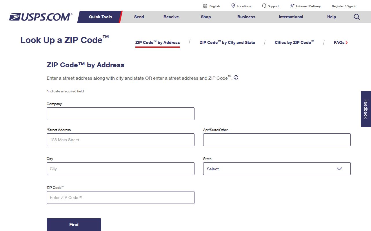
Carry the standardized address into Hall GIS rather than treating the postal result as a deed description.
Hall County ZIP Boundary Layers
The Hall County Service Maps page links qPublic, parcel tools, commission maps, and election district maps. Hall GIS adds parcels, subdivision lots, aerial imagery, zoning, contours, flood zones, utilities, public safety, elections, and future land use. Those layers answer questions that a ZIP code directory cannot.
Search the standardized address, zoom to the polygon, click it, and copy the parcel ID. The map can show whether nearby lots cross a district line, but a map view can lag a new filing. qPublic is described as updating weekly. A recorded deed is tied to its recording event, while the map and tax roll have separate update cycles.
The county's map hub is pictured below.
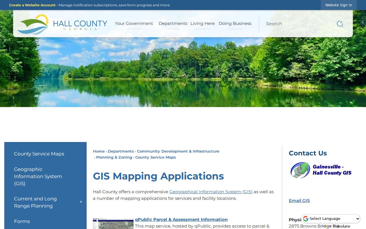
This page is the bridge from a postal clue to parcel and district evidence.
South Hall ZIP Communities
Flowery Branch ZIP 30542 and Oakwood ZIP 30566 serve fast-growing South Hall settings, but the postal name still does not settle municipal control. ZIP 30542 crosses Flowery Branch city and unincorporated territory. ZIP 30566 is associated with Oakwood, while nearby routes and parcel lines can create a different government path than the mailing label suggests.
For permits or code files, determine the jurisdiction first. Hall County handles permits in unincorporated land, while municipalities control their own. The Hall GIS office assigns addresses throughout county municipalities and can help with official address verification at 770-531-6809.
ZIP 30502 is a special caution. It is used for Chestnut Mountain and Oakwood-area PO boxes and should not be drawn as though it represented a complete household geography.
North and East Hall ZIPs
Clermont uses 30527 in north Hall. Lula's 30554 spans Hall and Banks Counties. Gillsville's 30543 also extends beyond Hall. Murrayville's 30564 approaches the Hall and Lumpkin edge. Each route can describe valid Hall mail while also reaching a neighboring county or a place whose municipal limits differ from its postal identity.
A Hall County ZIP code directory therefore needs two checks. USPS answers how the item is routed. GIS answers where the parcel sits. If the research goal involves a deed, assessment, court, election district, or permit, the second question controls which custodian to use.
Note: Alto, Braselton, and Buford ZIPs appear near Hall on county planning maps, but every target address still needs parcel-level confirmation.
ZIP Codes Versus Hall Limits
Several terms sound alike but describe different systems. Keeping them separate prevents a ZIP search from turning into a false statement about residence or jurisdiction.
- ZIP code
- A USPS delivery code, not a legal municipal or county boundary.
- ZIP+4
- A more precise delivery segment appended to the five-digit ZIP.
- PO-box ZIP
- A route used for post-office boxes rather than a household area polygon.
- Carrier route
- A delivery path that can cut across other civic boundaries.
- ZCTA
- A Census statistical polygon approximating ZIP geography, not the live USPS system.
Census ZIP Code Tabulation Areas can be disconnected, may omit a valid PO-box route, and are built from census blocks. Any population described by ZIP should be labeled as a ZCTA population unless its source clearly says otherwise.
Boundary rule. Use USPS for mail, Hall GIS for parcel jurisdiction, and the deed's legal description for enduring land identity.
Mailing, Situs, and Deed Identity
A qPublic parcel card may show both owner mailing and situs fields. The situs is the physical parcel address. The mailing line is where tax correspondence goes and may be in another ZIP. Their difference can reflect a move, a business mailing choice, or another routine reason. It does not identify an occupant.
Deeds use a legal description such as lot, block, subdivision, or metes and bounds. That identity can persist when postal presentation changes. Parcel identifiers link assessment and GIS systems, while recorded plats help place the lot. When a postal search conflicts with an older deed, follow the legal description and parcel chain.
Lake Lanier altered Hall County geography after the 1950s. An old road or parcel that seems to vanish may need historic maps, plats, deeds, and directory place names rather than a modern ZIP search.
ZIP Directory Privacy Gaps
No official Hall portal offers a complete list of everyone living inside one ZIP. qPublic centers on owners and parcels. An owner may not occupy the property, and occupants who hold no title are absent. My Voter Page is an individual status tool, not a public ZIP browser. Ordered voter records exclude unregistered people and protected data.
Georgia Safe at Home and VoteSafe shield qualifying addresses. Hall's property suppression process under O.C.G.A. § 50-18-78 can remove online owner-address linkage for qualifying people without erasing the underlying deed. Those lawful gaps are features, not errors.
Use this ZIP code directory for personal, lawful research. Verify a record with the office that holds it, and never use postal or parcel clues to stalk, harass, threaten, or harm a person.