
Walk a Hall County Street
A useful Hall County street directory search separates ownership from occupancy at the first step. The tax roll and deeds identify title holders. They do not list every adult, child, renter, or guest at a site. Historical Gainesville directories can supply an occupant and an address for one printed edition, while a regulated voter file may show registered voters whose addresses are not protected. No one source is a complete household roll.
- Run the street number and name in the Hall County qPublic location search. Save the parcel ID, situs address, owner, mailing address, and legal description.
- Open the Hall GIS map. Click the target parcel, then the next parcel in street order, recording each ID rather than assuming the map labels prove occupancy.
- Use the current owner as grantee in the GSCCCA real-estate index. Read the acquisition deed, its book and page, legal description, and prior-deed reference.
- For voter evidence, use My Voter Page only for an individualized lookup or obtain a lawful file from Hall Elections. Neither route represents all residents.
- For an older household, search the Gainesville directory scans by full address and spelling variants, then check the image because OCR text may be wrong.
This order keeps a street search anchored to one parcel. The parcel ID connects the map and assessment card. The legal description carries the trail through deeds even if the displayed street address changes. A name found in a deed can then be tested against a directory edition or other dated record.
Work one side of the road at a time and keep a simple source note for each result: displayed address, parcel ID, record date, owner or listed person, and the source URL or book page. Street numbers alone can be repeated on roads with similar names, and directional prefixes matter. Comparing the county and postal city on the parcel card helps prevent a same-number mistake. If a property spans more than one tract, record every parcel instead of treating the first polygon as the whole site. This careful method makes the street-by-street list reproducible and shows exactly where an ownership fact ends and an occupancy inference begins.
Search Hall County by Address
The Hall County qPublic parcel search is the main address-keyed starting point. County descriptions confirm owner, location-address, parcel-number, map, and sales functions, though unattended inspection could not confirm every live label because the service blocked access. Search a short street form first, then compare the returned situs address with the owner mailing address.
| Search choice | Input | Best use | Important limit |
|---|---|---|---|
| Owner Name | Surname or partial name | Find parcels titled to one owner | Title is not proof of residence |
| Location Address | Number and street | Open one parcel or browse a road | Live field wording may change |
| Parcel Number | Property identifier | Return to an exact tract | Obtain the ID from GIS or tax material |
| Map | Selected parcel | See nearby polygons and aerial context | Map layers may lag a new filing |
A parcel card may include the legal description, subdivision or lot, sales history, values, acreage, building data, map link, assessment notice, and exemptions where populated. Weekly updates make it useful for current tax-roll research, but a newly recorded deed can precede the next qPublic refresh.
Hall Street Address Clues
The most useful insider detail is easy to miss: owner mailing and parcel situs answer different questions. Situs means the physical location of the parcel. The mailing address is where tax correspondence goes. A mismatch can reflect a different home, a company address, a later move, or a simple mailing choice. It does not prove that someone else occupies the Hall County property.
- Parcel
- A mapped tract tied to a stable county property identifier.
- Situs address
- The physical address assigned to the parcel, distinct from the owner's correspondence address.
- Plat
- A recorded survey map showing lots, blocks, streets, dimensions, and other land details.
- Criss-cross directory
- A directory arranged by street or address instead of only by surname.
Use the parcel number and legal description as the durable link. Street forms and postal labels can shift, but a deed's subdivision, lot, block, or metes-and-bounds description can carry the search across older books.
Note: A mailing-address difference is a search lead, never proof of who sleeps at the situs address.
Map Hall County Street Parcels
The Hall County service maps page links both qPublic and the separate GIS experience. In the viewer, search the address with the Hall Address Points locator, zoom to the parcel, click its polygon, and save the parcel ID from the identify popup. Then pan along the named road and click each adjacent polygon. This is a manual map walk, not a hidden “neighbors” command.
The Hall GIS Viewer adds aerial photography, zoning, contours, subdivision lots, flood zones, utilities, public-safety areas, election geography, and future land use. Those layers explain why two nearby addresses may fall under different rules or districts. The map is context, while the parcel card and recorded deed remain the records to cite.
Hall County Street Record Set
Address-keyed sources overlap, but each has a blind spot. A sound street directory uses the source suited to the question and keeps the record date. The county map may show a boundary that is not yet reflected in a directory edition, while a recorded deed documents a title event rather than day-to-day occupancy.
| Record Set | Keeper | What It Shows | Access |
|---|---|---|---|
| Assessment roll | Hall Board of Assessors | Owner, mailing and situs addresses, parcel, value | Free qPublic search, weekly updates |
| GIS parcel map | Hall GIS | Parcel geometry, adjoining tracts, zoning and districts | Free viewer and manual map browse |
| Deeds, liens, plats | Hall Clerk Real Estate Division | Grantor, grantee, book/page and legal continuity | GSCCCA account or clerk counter |
| Voter records | Hall Elections or Georgia SOS | Regulated registration and residence fields | Individual MVP or ordered lawful product |
| Permit and code file | County or municipality | Work, applicant, contractor or owner at filing | Accela, office, or focused records request |
| Historical directory | Hall County Library and DLG | Dated occupant, occupation and address | Free scans and searchable text |
The parcel ID ties qPublic to GIS. The legal description and book/page then tie the parcel to the clerk's instruments. For a permit, first identify the governing jurisdiction. For an older person, use the street form printed in the relevant directory instead of forcing a modern spelling onto an old scan.
Follow Hall County Street Deeds
The GSCCCA Real Estate Search indexes official clerk records by county, name, type, and date. Select Hall, search the present owner as grantee, and compare the returned instrument with qPublic sales information. A grantor is the person or entity transferring an interest. A grantee receives it. Record the instrument type, execution and filing dates, book/page or instrument number, legal description, and any prior-deed reference.
To move backward, search the seller as an earlier grantee. Repeat the chain and use lot, block, subdivision, or plat references when a street number is unreliable. Hall's clerk reports land and personal-property custody back to the county's 1818 founding, but that does not mean every old image is online. Continue in courthouse general indexes and deed books when GSCCCA coverage stops.
The official GSCCCA search screen is shown below.
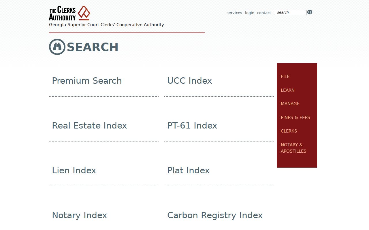
The county and party fields narrow the recorded-title trail, while the clerk remains the source for a complete or certified copy.
Choose the Hall Address Office
A Gainesville postal line is not proof that a parcel lies inside Gainesville. Hall County issues permits in unincorporated territory, while Gainesville, Flowery Branch, Oakwood, Clermont, Lula, Gillsville, and other municipal areas use the proper local channel. Confirm the parcel and boundary layers in GIS before asking for a permit, planning file, or code case.
Hall's Accela search accepts a permit or record number when known. Building Inspections says permit and certificate-of-occupancy records under ten years can be retrieved in the office. Other requesters, older files, or anyone needing copies can use the correct open-records channel. Describe the address, parcel number, record type, and date range. Georgia agencies need not create a new street roster.
The Hall County property-tax information page distinguishes tax billing and collection from assessment work.
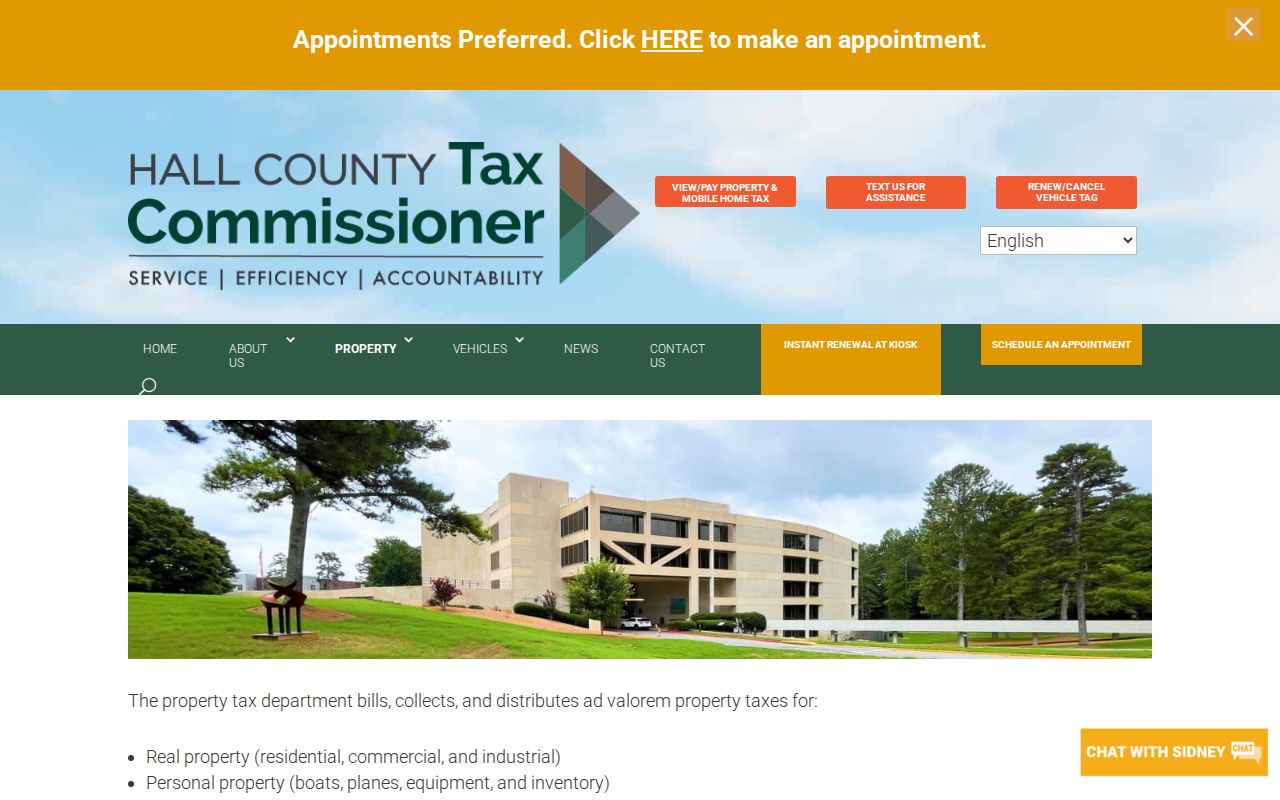
Use that office for billed tax status, but use the Board of Assessors for the property characteristics and value record.
Hall Voter Street Limits
The Georgia My Voter Page checks one person's registration, precinct, districts, sample ballot, and absentee status after identifying inputs. It is not a public browse-by-street directory. Hall Elections maintains voter registration for the county and its municipalities, while public file products must be ordered through official election authorities under Georgia law.
A lawfully supplied file can contain residence address, precinct and district data, but protected addresses and private authentication fields are withheld. It omits unregistered people and does not reveal ballot choices. Georgia also does not register voters by political party. Street-level voter evidence is therefore dated and incomplete, even when acquired through the proper channel.
Read Old Gainesville Streets
Historical address work belongs to the surviving Gainesville directory editions, not a claim of a continuous annual run. The Digital Library of Georgia holds scans across 1882 through 1960. Later Polk books include Gainesville Mill, New Holland, and then Chicopee as named directory geographies. Full-text OCR can miss initials, street abbreviations, and worn type, so inspect the page image and that edition's abbreviation key.
Sanborn maps bridge names to buildings. The 1903 DLG set and the Library of Congress's 14-sheet 1915 atlas show house or block numbers, street context, footprints, materials, and use, not occupants. The 1913–14 directory's own map adds one-eighth-mile circles, rail lines, and streetcar routes. These sources can resolve an old description before the address is carried into a modern parcel search. For the full shelf, use the Hall County city directory collection.
Hall Street Directory Blind Spots
A Hall County street directory cannot supply a complete current household. The owner roll omits people who hold no title. Deeds track property interests. My Voter Page cannot browse a road, and even an official voter product excludes unregistered or protected residents. A permit may name an applicant or contractor who never lived at the site. Utility customers and motor-vehicle addresses are not public street directories.
Georgia Safe at Home can substitute a protected mailing address for eligible survivors. VoteSafe protects qualifying voter addresses, and Hall County has a sworn form under O.C.G.A. § 50-18-78 that suppresses some owner-address links from qPublic. Suppression does not erase the underlying deed. Respect those safeguards and never treat absence from a portal as proof that a person left Hall County.
Lawful use. Hall County address records support genealogy, deed research, consumer safety, and civic inquiry. Never use them to stalk, harass, threaten, or expose a protected person.
When a public portal fails, call the named custodian or make a narrow Georgia Open Records Act request. Ask for an existing file by address, parcel, type, and date span. That fallback is more reliable than assuming the missing result means no record exists.